Where is Malta?
Where is Malta?
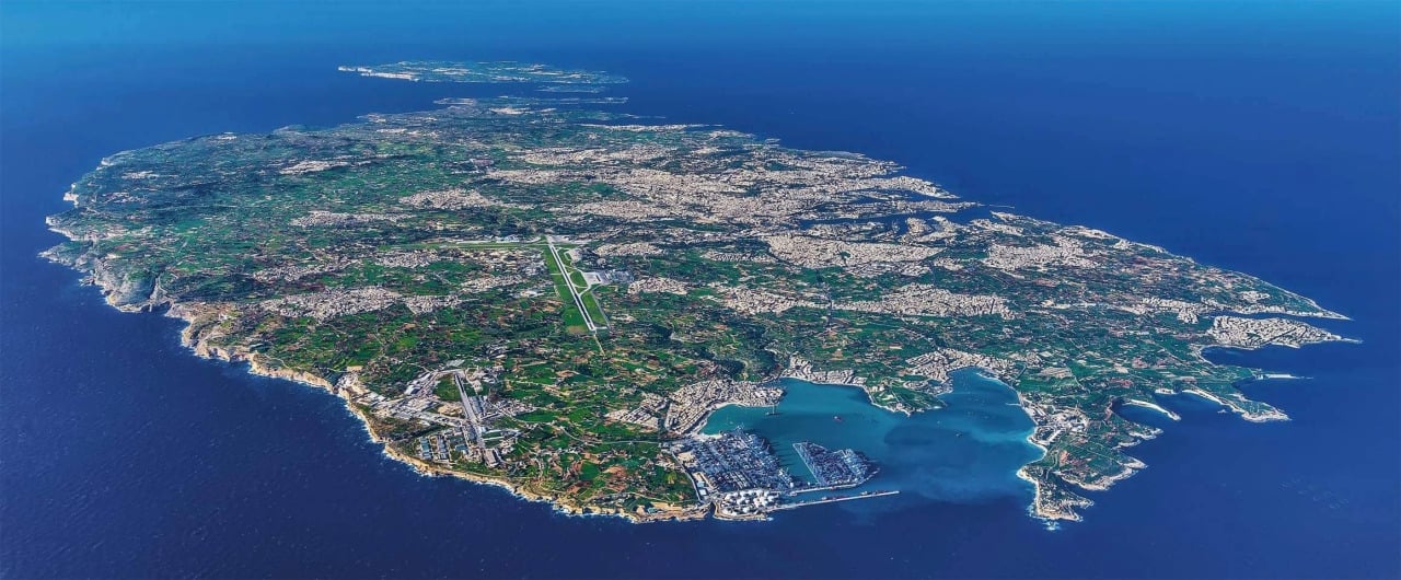
Malta's location, bang in the middle of the Mediterranean Sea, has proved to be the building blocks of its culture and tradition. Its position has sculpted the entire history and social development of a Nation.
The distance between Malta and the nearest point in Sicily is just 93 km, while the distance from the nearest point on the North African mainland (Tunisia) is 288 km. Gibraltar is 1,826 km to the west and Alexandria is 1,510 km to the east. Looking at a map (see interactive Google map below) you can quickly understand why it is often dubbed "the gem in the heart of the Mediterranean."
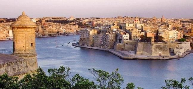
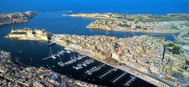
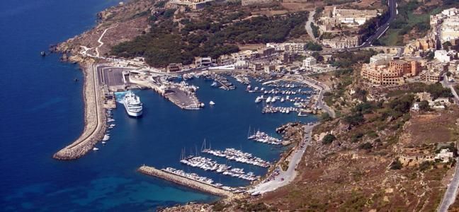
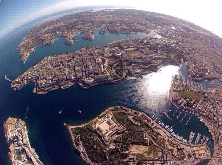
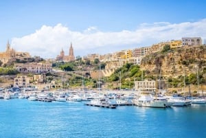
Its strategic position has led Malta to become an important trading post in the Mediterranean, especially since its Grand Harbour, with the capital Valletta on one side and the Three Cities on the other, is one of the greatest natural harbours in the world, allowing visitors safe shelter from the open seas. In ancient times, seafaring merchants from the eastern Mediterranean, such as the Phoenicians and Carthaginians, used Malta as a convenient landing place for exchanging merchandise with the western Europeans. Even in modern times, the Malta Freeport has become one of the Mediterranean's leading ports for container transhipments.
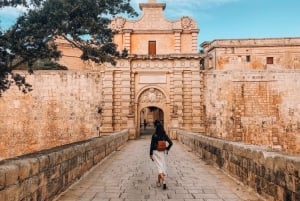
During mounting political movement in Europe, Malta has always been considered a strategic piece of land to possess. It changed hands continuously, having been ruled by the Punics, the Arabs, the Normans, the Knights, the French under Napoleon and, subsequently, the British. Each rule brought with it an influence which can still be traced not only in historic buildings but also in the language, customs and traditions to this present day.
It is intriguing to linguists how the unique Maltese language, belonging to less than half a million people, is the only Semitic language written in the Latin alphabet. Maltese has definite Semitic roots; however a large portion of the vocabulary is borrowed from Italian, Sicilian, English, French and Spanish, a living witness to the major influences by these neighbouring or colonial countries.
Perhaps the most pivotal role played by Malta's geographical position was during World War II, when it provided the Allies with a winning card against the Axis forces. Its strategic position and important role during the war was acknowledged when the entire Maltese Nation was awarded the George Cross, to "bear witness to the heroism and devotion of its people."
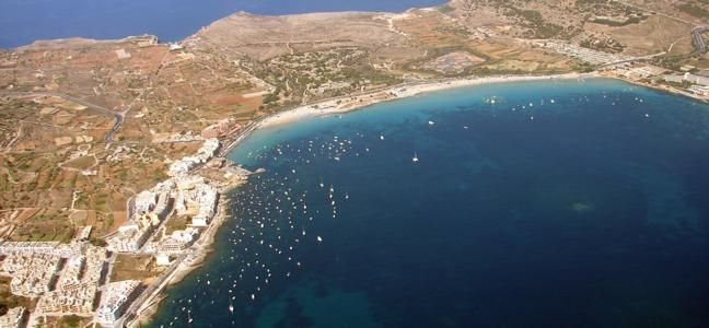
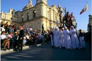
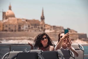
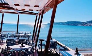
Today Malta's location is best known for its ideal climate, crystal clear waters and beaches, making it a prime tourist destination. Rich with a history of 7,000 years, a unique melange of cultures, and a hub of entertainment, Malta may be small in size but is definitely great in character.
Fact file:
The Maltese Islands fall within the following co-ordinates:
Northern Latitude 36o00'00"
Eastern Longitude 14o36'00"
The area of the Maltese Islands is 316 km². The length of the shoreline round Malta is 136 km and 43km round Gozo.
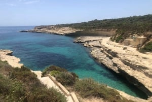
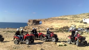
Physical Features: Malta has no mountains, rivers or lakes but is characterised by terraced hills and rocky features. The coastline of Malta is rugged, with steep cliffs on the western side. There are numerous natural harbours, bays, creeks, sandy beaches and rocky coves.